
Opinion
Africa’s Colonial Map Still Shapes Its Economic Reality
The borders drawn at the 1884 Berlin Conference were never designed for African development – and their structural legacy endures.

By Gregory September
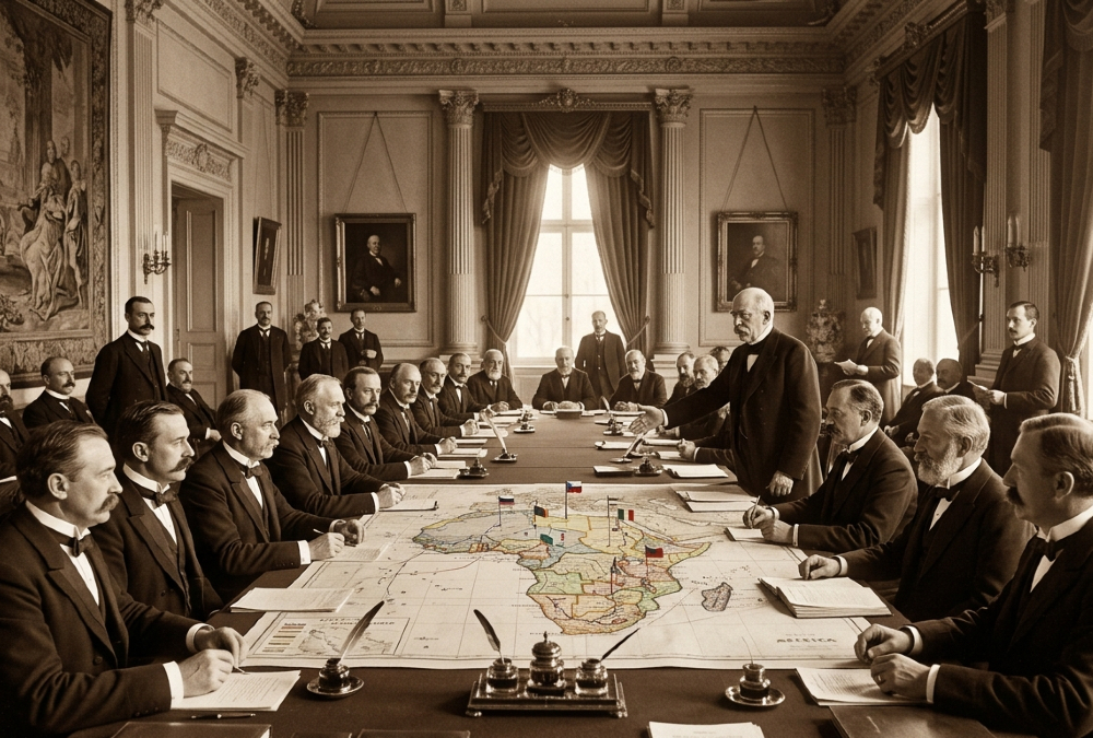
By the end of 1914, European powers controlled roughly 90 percent of the African continent. Only Ethiopia and Liberia retained formal independence.
Britain, France, Belgium, Germany, Portugal, Italy, and Spain had partitioned the rest – drawing boundaries that bore little relation to existing cultures, trade networks, or political communities.
That imposed geography is not merely a historical footnote. It is a living structure.
The borders established during that period continue to interrupt pre-colonial economic corridors, separate culturally connected communities, and fragment regional markets.
Infrastructure networks – roads, railways, and ports – were built to funnel resources outward, toward colonial capitals, rather than inward, to connect African economies to one another. Many of those export-oriented patterns persist today.
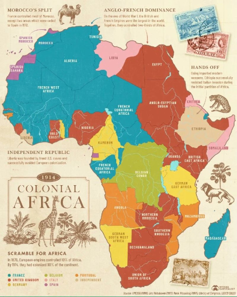
A Continent Measured by Someone Else’s Rulers
The consequences are measurable. Trade within Africa remains constrained by inherited boundaries.
Risk assessments routinely group nations with vastly different institutions, demographics, and growth trajectories under a single continental label. Economic models calibrated to external demand rather than domestic value creation continue to distort investment and policy decisions alike.
This structural inheritance also complicates progress on several United Nations Sustainable Development Goals.
Achieving decent work and broad-based growth (SDG 8) is harder where economic activity still tilts toward external markets.
Reducing inequality (SDG 10) is more difficult when fragmentation amplifies disparities between and within countries.
Building integrated infrastructure (SDG 9) requires overcoming a network built for extraction, not connectivity.
And strengthening institutions (SDG 16) demands adapting frameworks that were not designed with local governance traditions in mind.
None of this renders Africa’s challenges insurmountable, nor does it reduce the continent to a single, undifferentiated risk profile. Fifty-four countries, each with distinct institutions, histories, and trajectories, defy that simplification.
But understanding their present requires reckoning honestly with how their borders were made – and for whom.
The map looks stable. It is not neutral.
Gregory September is a South African academic, author, and geopolitical analyst with extensive experience in government and Parliament. He is the founder and CEO of SAUP (Sustainability Awareness and Upliftment Projects NPC), which focuses on sustainability education and community development. He previously served as Head of Research and Development for the Parliament of South Africa. His work centers on sustainability, African geopolitics, and economic development, and he regularly contributes to analysis of global political and economic affairs.
